Eye in the Sky
From modeling to claims, satellite technology can identify losses—even before they happen.
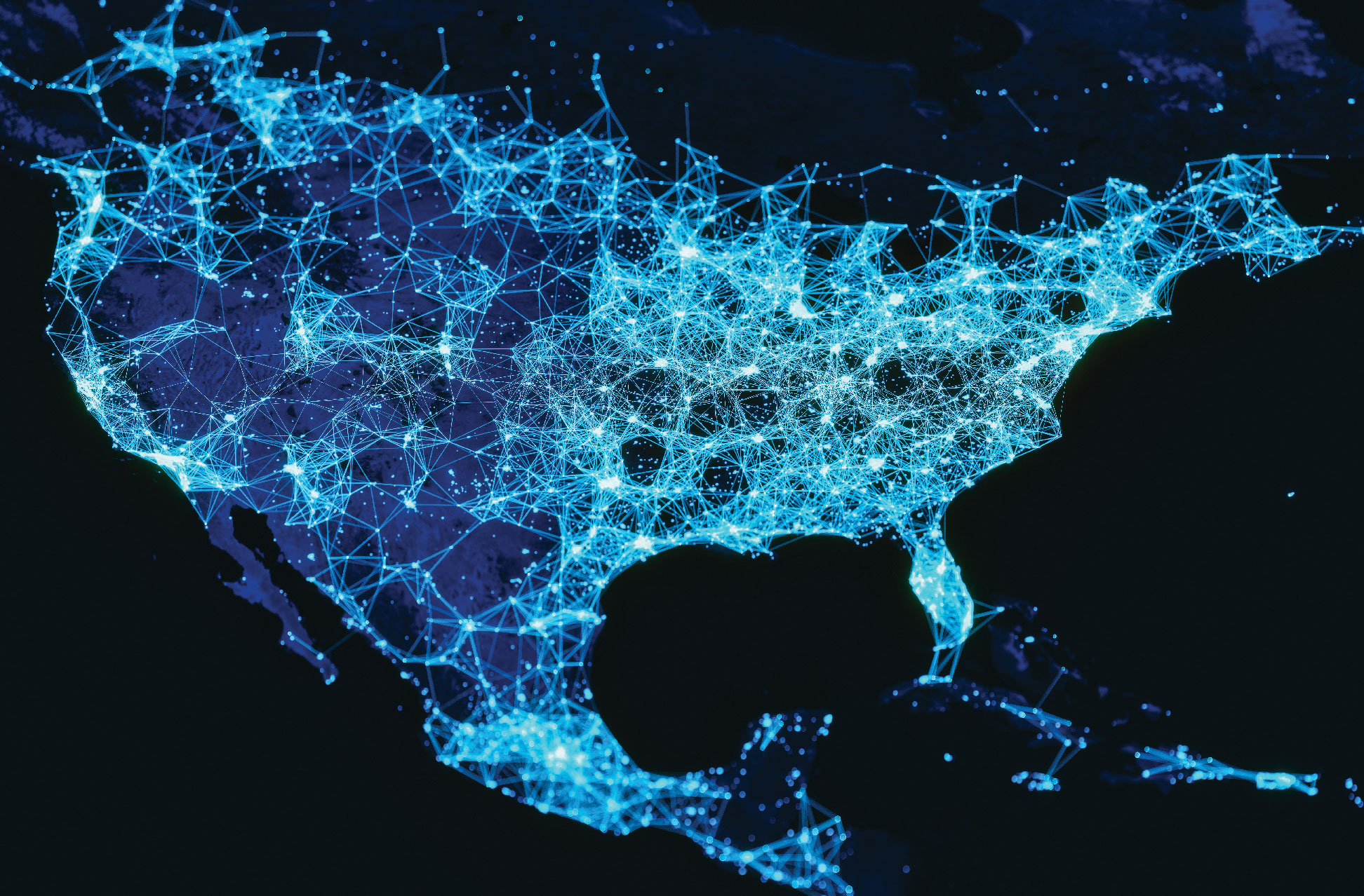
Thousands of satellites look down at us, taking pictures and sensing changes, revealing details about any place on the planet.
According to the Union of Concerned Scientists, which maintains a list of operational satellites, 6,542 satellites were in orbit as of Jan. 1 of this year. Of those, 3,372 satellites were active and 3,170 were inactive. The ensuing four months saw the launch of about 850 additional satellites.
Remote sensors and satellite connectivity deliver vital real-time visibility into how energy grids are performing.
Today’s satellites employ remote-sensing technologies that aid insurance activities such as risk management and underwriting.
Realizing the advantages of remote sensing, insurers and reinsurers are partnering with satellite operators to assess and mitigate risk for clients.
Some of these satellites are now being used as remote-sensing technologies that collect data and images to aid in a range of insurance activities, from risk management and underwriting to responding to claims and aiding a shrinking workforce.
“Remote monitoring today plays an essential role in helping to manage and reduce risk across a broad range of industries, including mining, transport and utilities,” says Nicholas Prevost, enterprise regional director of mining innovation at Inmarsat, one of the world’s largest non-government satellite operators. “The availability of low-power IoT sensors, plus the advent of affordable, reliable and secure satellite connectivity services enable the remote monitoring of locations, infrastructure and assets that are geographically dispersed and difficult to access.”
While the use of these tools is growing, some say the best is yet to come in terms of realizing the true value of geospatial imagery.
Utilities, Transport and Mining
Energy-grid management has always been a complex task. Today’s increasingly dispersed and decentralized smart grids create new challenges, such as managing supply from multiple sources in response to fluctuating demands for energy from different locations. The combination of remote sensors and cost-effective satellite connectivity delivers vital real-time visibility into how the grid is performing.
Sensors placed along power-distribution lines allow energy providers to automate the monitoring and control of switches and other distribution devices anywhere on the grid, which helps boost grid efficiency and performance. The sensor network also enables automated control across the entire grid so the provider can respond rapidly to voltage fluctuations, power outages or peaks in service demand.
With this level of real-time, in-depth insight, energy providers can understand the performance of their infrastructure better and make more informed decisions and investments. In so doing, they reduce waste, improve efficiency, identify potential problems before they happen, and maintain a high service level with minimal outages. This, in turn, helps the provider in achieving important supply quality indicators.
Utilities use satellite and aerial imagery to assess the risks of natural hazards, such as hurricanes, wildfires and floods, to their infrastructure and customer service area. In addition, using satellite and aerial imagery, utilities can better control their vegetation management expense, one of the most, if not the most, significant expense in a utility’s operation and maintenance budget.
Kristen Jaconi, Associate Professor of Business, University of Southern California
In-depth studies have been conducted by a host of organizations, such as MIT and the U.S. Department of Energy’s National Renewable Energy Lab, to name just two. They point out that this new kind of advanced intelligence, enabled by advanced technical capacities, makes it possible for utilities to quickly respond to all kinds of conditions—spikes in demands, changes in supply and much more.
“Utilities use satellite and aerial imagery to assess the risks of natural hazards, such as hurricanes, wildfires and floods, to their infrastructure and customer service area,” says Kristen Jaconi, an associate professor of business at the University of Southern California and the director of its Risk Management Program. “In addition, using satellite and aerial imagery, utilities can better control their vegetation management expense, one of the most, if not the most, significant expense in a utility’s operation and maintenance budget.”
Consider the two largest California electricity providers: Pacific Gas and Electric (PG&E) covers 70,000 square miles in northern and central California; Southern California Edison covers 50,000 square miles.
The utilities are beginning to use this imagery to measure the proximity of vegetation to power lines over large swaths of territory and hard-to-access locations, enabling them to allocate their vegetation-management resources to targeted locations. Utilities also use this imagery to maintain their infrastructure, identifying needed repairs.
In 2019, PG&E deployed a real-time fire-detection system powered by satellite imagery to better protect its customers and its infrastructure. Energy system managers and owners are becoming more adept as they use this new minute-by-minute knowledge of the real world. They can thus stop guessing about fast-changing conditions, thereby reducing their risks and increasing their margins.
The technology has also transformed how multiple aspects of the transport sector operate, including rail, multimodal logistics and freight worldwide. Its impact extends from supply-chain transparency and improved operational efficiencies to enhanced worker and passenger safety.
“Key concerns in the transportation sector are safety and efficiency,” Prevost says, “and the use cases for remote sensing technologies are numerous: ranging from advanced control systems and next generation signaling for trains to power distribution and intelligent navigation for container ships at sea.”
Having continuous visibility over a fleet of vehicles, whether trains, trucks, buses or ocean-going container vessels, is essential for operators to understand exactly where their assets are. It enables them to optimize their capacity and monitor in real-time critical components for improved maintenance.
One shared challenge faced by both utilities firms and transport businesses is that large areas of their networks have coverage dark spots where terrestrial networks fail to provide reliable connectivity. In these areas, operation centers lose their ability to visibly track infrastructure, vessels and other assets, and two-way communication becomes practically impossible.
In these circumstances, satellite eliminates coverage dark spots in inaccessible locations. From a risk-management perspective, it’s also a highly reliable, highly secure backup should disaster strike and terrestrial and cellular networks go down. Satellite connectivity minimizes the potential disruption by ensuring that remote sensors continue to transmit and receive their important operational data.
In mining, Prevost says, sensors are used to monitor facilities that store tailings—the waste created from mining—which are often kept in vast reservoirs. “If the walls surrounding the tailings storage facility fail, there can be dire consequences for people and the environment,” he says. “Progressive mining companies are starting to work with their geotechnical engineers, connectivity solution providers and insurers to build IoT solutions that de-risk tailings dams. These work through sensors taking data from the dam walls in real time and sending the data back—often through satellite, as they are in a remote location—to a cloud dashboard.”
Whether on-site or thousands of miles away, engineers can then review the data and make informed decisions about preventive measures necessary to ensure the safety of the tailings facility, Prevost says. “Because the tailings facility is less likely to suffer a failure, insurers are able to lower their premiums, which have historically been very expensive or not offered at all. Insurers can even log in and check the data in real time for maximum peace of mind.
“If an insurer can understand behaviors and the likelihood of a certain situation occurring, as IoT is making possible, then they can better calculate premiums and pass on savings for those who deliver positive outcomes. However, none of this is possible without reliable connectivity, which IoT is built upon. Many areas where IoT stands to make the biggest difference are badly served by terrestrial connectivity networks.”
Sensor Potential
Insurers and reinsurers are realizing the advantages of remote sensing and partnering with satellite operators and other providers to more accurately assess and mitigate risk for clients.
Alex Martonik, a commercial industry specialist for Esri, which provides mapping and spatial analytics software and solutions for customers in a range of industries, says a snapshot in time “establishes benchmarks on a large number of risk indicators, from wildfires to hurricanes and beyond.” He cites examples where geographic information system (GIS) applications enable actuaries and risk managers to compare imagery from one year to the next using automated change detection. Such imagery, Martonik says, can identify valuable patterns, “such as new low-lying vegetation growth in areas with a high wildfire risk.”
These insights, he says, can fuel predictive models “that forecast the potential impact to proximate insured properties, enabling insurers to understand potential risk exposures long before the first spark.” Additionally, Martonik says he’s seen actuaries and underwriting teams “leverage this type of remotely sensed data to monitor ongoing climatological trends, identifying new patterns that help explain the steady increase in more frequent and disruptive natural disasters.”
When you start stacking all of those pieces of information on top of each other, tying that together with GIS, that system can analyze and map and present that information. That’s the kind of stuff that underwriters and risk managers and claims people really covet. And to me, that’s a future and a difference because of the exponential scale of the data that can be digested.
Steve Powell, EVP, Sedgwick
In a recent example, in March 2021, Swiss Re announced a partnership with ICEYE, the largest commercial synthetic-aperture radar satellite operator and flood monitoring provider, to advance flood-risk management, assist disaster response and speed up claims payments globally, according to Swiss Re.
The companies note the partnership will enable early-warning systems and near real-time flood monitoring. A Swiss Re press release stated: “Modelling floods has proven particularly challenging in locations with fine-scale changes in elevation, complex terrains and man-made structures as is typical for dense urban centres. The partnership aims to address exactly these areas where most of the flood modelling today falls short and thereby addressing the insurers’ pain points.”
While the partnership will initially focus on floods, it is intended to expand to other natural perils, such as wildfires, wind and earthquake damages.
Global insurer Sompo International is also adopting more sensor technology in assessing and underwriting risk. Richard La Gala, a Sompo vice president and director of risk services transformation, says Sompo is building ecosystems that use available remote-sensing technologies, including both satellite-captured and local terrestrial-network captured data, to provide a more precise understanding of risk. “Working with risk-control specialists and Sompo Digital Labs as an R&D platform, we help our clients understand what sensor technologies can do and find ways to maximize the technology to improve their own risk-management efforts and reduce risk,” La Gala says. On the underwriting side, these efforts are leveraged to help reduce book exposures and improve insurance products and pricing.”
In agriculture, for example, today’s “smart farms” are using satellite-connected sensors for humidity, temperature, soil testing and crop monitoring. “This is helping farmers make critical real-time decisions that will increase output, mitigate risk and reduce loss,” La Gala says. “From an insurance perspective, this data helps with our claims approach, enabling adjusters to examine soil, crop and weather conditions to determine the cause of the loss.”
In real estate, facility managers connect to IoT sensors to manage “smart buildings” from one room. La Gala says Sompo’s approach to these opportunities begins at the construction stage. “Sensors placed in concrete can ensure it is curing properly, and sensors can be used to monitor structural integrity,” he says. “Once buildings are completed, additional sensors manage building operations and water-mitigation efforts.” Water sensors can indicate pipe pressure and potential and actual water leaks, enabling issues to be addressed before they occur. Satellite sensors are also used to monitor sea levels and flood areas, providing a better defense and quicker information sharing with multiple agencies. Water losses are a top loss driver, so the ability to better mitigate the risk is a great advantage, resulting in fewer claims.
Across industries, satellite-connected sensors are helping to better manage IoT networks remotely, collecting power data and improving operations, even in difficult and remote locations. For insurance carriers, adding a layer of sensor technology on top of everything they already know will provide more precise understanding, facilitating a proactive risk-management approach and enabling insurers to better serve their clients.
Claims Management
On the other end of the policy life cycle, claims administrators are regularly using satellite and other aerial imagery for efficiency and accuracy in claims management.
Steve Powell, an executive vice president with Sedgwick, a global provider of technology-enabled business solutions, says aerial and satellite imagery come in both micro and macro forms on insurance claims. “When you think of drones that the drone pilot can individually fly around a claim site, that provides a microgeographic satellite image of that loss site,” Powell says. “It’s a fantastic tool. Claims professionals are using those for certain claims…at a fairly small scale. Beyond drones, you’ve got satellite imagery that provides micro and macro geospatial imagery of things.”
Powell notes the variety of tools available today, ranging from CoreLogic’s Skymeasure to EagleView to Google Earth. He says the main difference between the technologies is the scale of the data a satellite can produce.
Remote monitoring today plays an essential role in helping to manage and reduce risk across a broad range of industries, including mining, transport and utilities. The availability of low-power IoT sensors, plus the advent of affordable, reliable and secure satellite connectivity services enable the remote monitoring of locations, infrastructure and assets that are geographically dispersed and difficult to access.
Nicholas Prevost, Enterprise Regional Director of Mining Innovation, Inmarsat
“It is time-efficient versus having a human being go out and physically photograph and measure sites,” Powell says. “Having aerial imagery to be able to do those things on a trusted, reliable basis does provide some efficiencies and, more importantly, it provides some scale. Because whatever creates time efficiencies is welcome in the claims world.”
Some insurance claims likely come at a predictable rate, notes Jon Metzler, a lecturer on international business at the University of California at Berkeley. “Others, such as from fire or natural disaster, may come in bunches,” Metzler writes in an email. “The use of images can help verify claims in either case, but in the latter case (large, concurrent, geographically concentrated volume of cases) the insurance company may not have the resources to manually verify even large claims, or it may not be safe to send people there. Satellite images can help speed this process…. There are also markets and geographies where there’s a structural shortage of adjusters (think aging economies) so use of imagery can help alleviate such resource shortage.”
Powell agrees. He notes the workforce shortages across the industry are hardly a surprise: “We predicted these years ago when we talked about the graying of our workforces, the baby boomers aging out and going into retirement.” But, Powell says, the shortages are exacerbated when combined with the great resignation of 2021 and “a huge amount” of pending claims from Hurricane Ida.
“So satellite imagery, drones, artificial intelligence, machine learning—any of those types of tools that make claims handling more efficient—we bring those in and welcome them in as much as possible,” Powell says. He warns, however, that these tools alone “will not be the cure to the industry’s labor shortage. The cure will be a combination of people and claims automation, and that’s what’s on our horizon, putting those two things together.”
Taking the Future Farther
While these technologies have advanced considerably, some believe there is still room to take these tools even farther.
“This future I see for underwriters, actuaries, claims folks, is the overlay of pre-loss and post-loss satellite data,” Powell says. “So being able to lay those two pieces of data information over each other, couple that with a view of what policies are in force in that geospatial area, lay on top of that the forensic meteorology and other claims-related data that is gathered after an event—think of a hurricane, you’ve got tidal surge and storms and wind. When you start stacking all of those pieces of information on top of each other, tying that together with GIS, that system can analyze and map and present that information. That’s the kind of stuff that underwriters and risk managers and claims people really covet. And to me, that’s a future and a difference because of the exponential scale of the data that can be digested. That’s really what claims professionals are after. They want to understand the data so they can mitigate the risk so they can adjudicate the claims and take care of people, because claims is the moment of truth in any policy that is written.”
If the answer to the question posed above is yes or maybe, then good news is emerging. Gabe Dominocielo, co-founder of Umbra Corp., argues that satellite capabilities are limited in scope because they can’t see through dense clouds during storms or at night and they can’t provide precise radiometric measurements.
Umbra’s solution is radar imaging. As Dominocielo explains it, an Umbra radar satellite is “capable of generating images through clouds, storms, tornadoes, smoke, fog and in total darkness in high resolution. Our satellite sends radio waves, which can cut through clouds, down to Earth to collect information about an area. As the radio waves touch and interact with the surface, it allows us to also ‘see’ what is going on underneath the surface and to detect the smallest changes to an area.”
Dominocielo thinks insurers can use this type of technology to make smarter, faster decisions, especially during natural disasters, when time is of the essence.
Unlike with drone and optical satellite imagery, Dominocielo says, insurers using radar imaging “can generate images before, during and after a storm—regardless of cloud coverage. And they can detect minuscule changes over an area to see what changed before and after the storm.”
With what Dominocielo calls “complete geospatial awareness, including data below the surface, insurers can generate 3D models for flood and structural risks; the industry can better predict damage and identify risk areas before the storm. And afterwards, they can better and more quickly assess and verify claims.”
Dominocielo also says radar imaging “will improve the capabilities of autonomous vehicles. They can better sense and understand the environment around them, such as roads and bridges. But this can only be done with extremely high-resolution radar data.”
This data could have been used in 2018 to help detect an impending landslide in Santa Barbara that led to the loss of 46 lives, destroyed more than 100 homes, and caused $207 million in damage. The data could have detected and provided an assessment of the mudslide risks from the hill surrounding the residential neighborhood.
Because radar can also understand land deformation, insurers can detect and monitor the foundational integrity of a building or neighborhood from ground subsidence generated from nearby wells or oil drilling. Anything happening underground can cause foundations to crack or break.